Click to download now, finish the installation quickly, and directly unlock the all-round experience
Screenshots

Click to download now, finish the installation quickly, and directly unlock the all-round experience
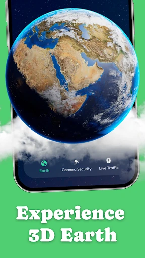
WorldView 360 – Live Maps is a Maps & Navigation app for viewing places from several perspectives. It suits travelers, geography enthusiasts, photographers, and anyone who wants to inspect cities, landmarks, roads, and landscapes from a phone. The app combines satellite imagery, interactive 360° views, public live camera feeds, and traffic information in one place.
Use the satellite map to look across cities, coastlines, natural areas, and notable locations from above. You can zoom in and move around the map to examine different parts of the world. For a closer, more immersive look, the panorama feature provides interactive 360° imagery that you can rotate and explore from different directions.
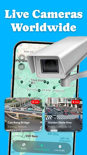
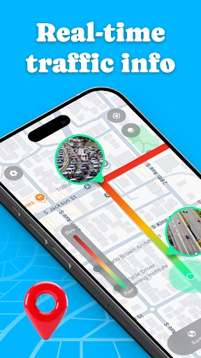
WorldView 360 also brings together publicly available live camera streams, including feeds from roads, city areas, tourist locations, and other public spaces. These are intended for open viewing rather than private surveillance. Traffic tools can help you check congestion, road conditions, incidents, and other current information before or during a journey. Internet access is required, and location access may be used for nearby traffic features.