Click to download now, finish the installation quickly, and directly unlock the all-round experience
Screenshots
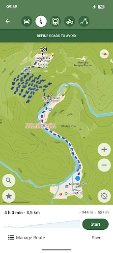
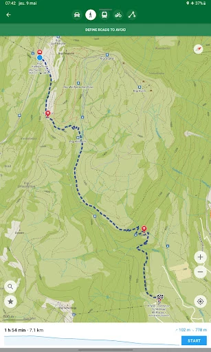
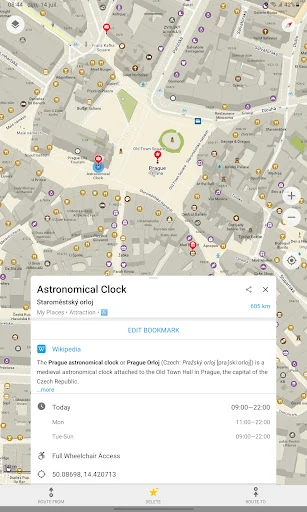
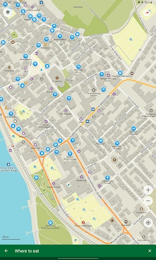
Click to download now, finish the installation quickly, and directly unlock the all-round experience
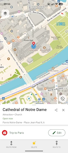
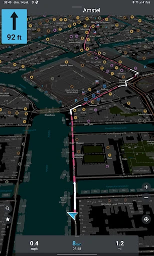
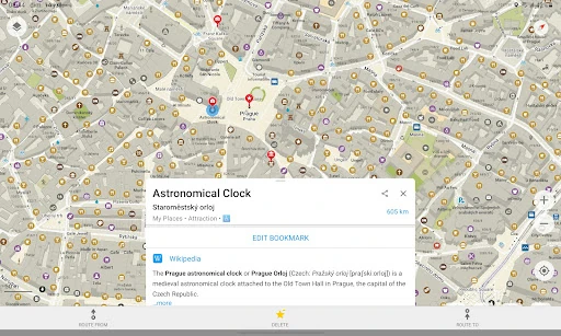
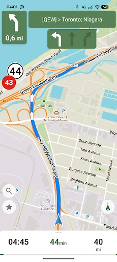
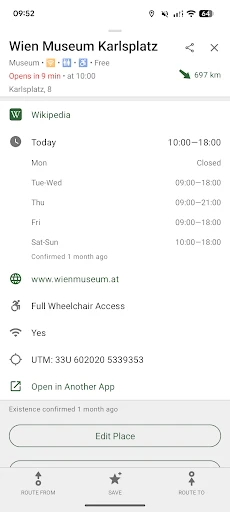
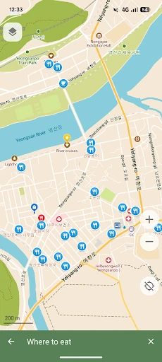
CoMaps - Navigate with Privacy is a maps and navigation app for people who want route planning without routine location tracking. It uses OpenStreetMap data and is designed for offline use, so you can search for places, view map details and plan routes when mobile coverage is unavailable. That makes it useful for travel, remote areas and anyone who prefers not to depend on a constant data connection.
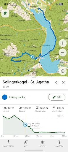
The app includes map information suited to more than city driving. Hikers and cyclists can use trail information, contour lines, peaks and water sources when these details are available in the local OpenStreetMap data. CoMaps also supports GPX, KML and KMZ files, making it easier to open saved routes or move trip data between compatible mapping tools.
CoMaps is open source and built around limiting data collection rather than using navigation to build an advertising profile. It also includes tools for editing map information, allowing users to correct errors or add points of interest to the shared map. Android Auto support and a dark mode provide practical options for driving and low-light use.
Map quality can vary by location because points of interest and local details depend on OpenStreetMap contributions. It also does not focus on the same real-time traffic features found in data-heavy commercial navigation services. With a rating of 4.0 out of 5 from 807 reviews and more than 50,000 installs, CoMaps is a practical choice for privacy-conscious drivers, hikers, cyclists and travelers. The app is developed by CoMaps.